Welcome to Al Amana Engineering Services LLC, your premier destination for comprehensive surveying solutions. With expertise in land, building, drone, and marine surveying, we deliver accurate, reliable results for projects of any scale and complexity.
To exceed the client's expectations by providing innovative, systematic and goal-orientated quality services and solutions to enable them to operate at fullest potential with competitive edge in modern industry.
To provide our clients with Efficient, Cost-Effective and Quality services and solutions by continuous review and improvement in our Services and Facilities taking into account the exact needs and expectations of our clients.
We will never walk away from the project and the tasks you entrusted to us to fulfill and we will always put forth the effort and resources to do whatever it takes to complete and deliver your project on time
We are dedicated to serving, satisfying and retaining existing customers and to win new ones through excellence performance.
At Al Amana Engineering Services LLC, we’re more than just surveyors; we’re dedicated professionals committed to excellence in every aspect of our work, with 30 years of experience.
Our team brings unparalleled expertise and a passion for precision to every project. From our humble beginnings to becoming a trusted leader in the industry, our mission has always been to deliver superior results while maintaining the highest standards of integrity, safety, and client satisfaction.
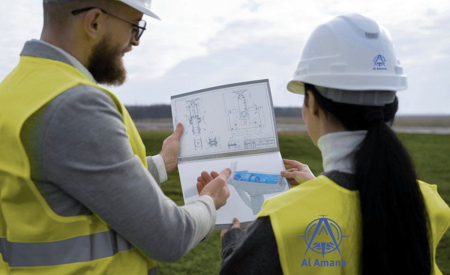
From precise land boundary determinations to detailed building assessments, aerial mapping, and underwater inspections
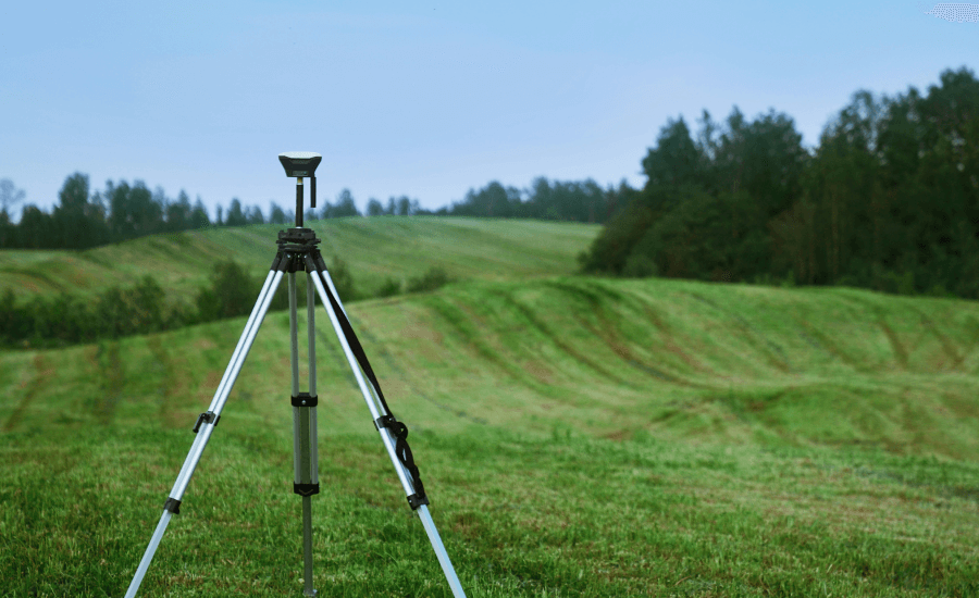
Our land surveying services encompass a wide range of tasks, including boundary surveys, topographic mapping, ALTA/NSPS surveys, and more.

Whether you need as-built surveys, construction layout, or 3D laser scanning, our building surveying team has the expertise to deliver detailed
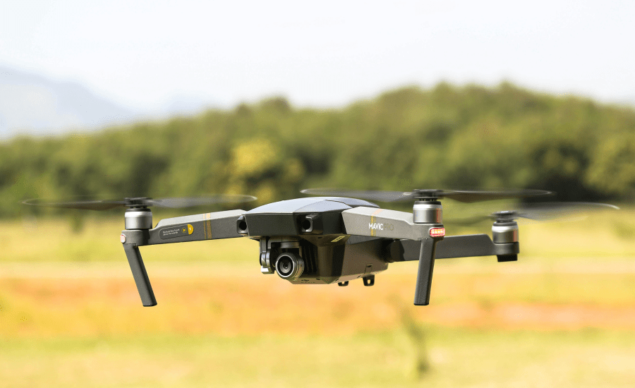
Harnessing the power of unmanned aerial vehicles (UAVs), our drone surveying services offer a cost-effective and efficient solution for aerial mapping,
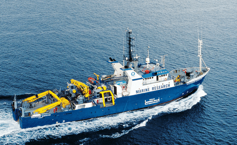
Our marine surveying capabilities extend beneath the waves, offering hydrographic surveys, bathymetric mapping, offshore inspections,
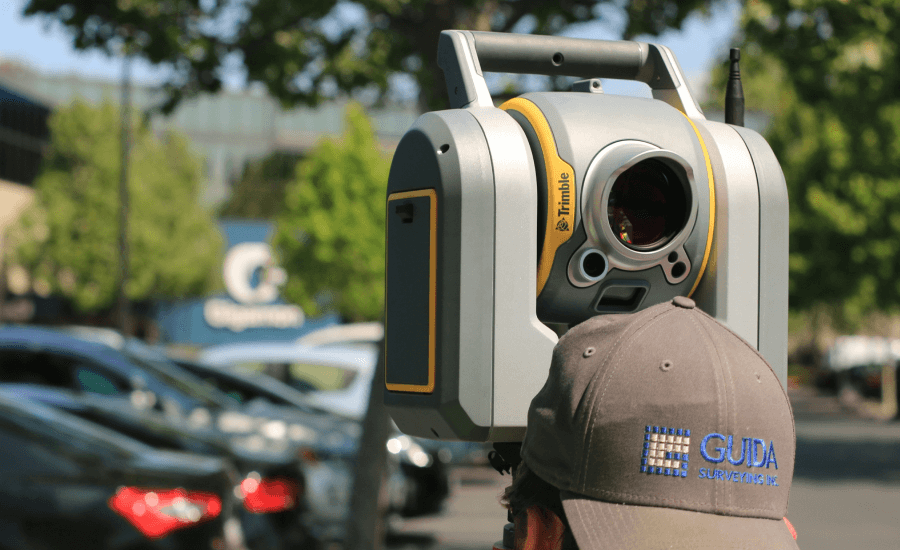
Leveraging cutting-edge technologies such as LiDAR, photogrammetry, GPS/GNSS, and GIS, we ensure the highest level of accuracy

Utility Surveying is the process of identifying and labelling public utility mains that are underground. Utility Surveying accounts for lines

We provide data collection, analysis and presentation service to the traffic and transport sector.Our objective is to constantly deliver accurate survey

Our monitoring solutions are most appropriate and fit-for-purpose solutions. They are developed, implemented, and managed.
Safety is our top priority at Al Amana Engineering Services LLC. We adhere to stringent safety protocols and regulatory requirements to ensure the well-being of our team members, clients, and the environment. With a focus on continuous improvement and training, we strive to maintain the highest standards of safety and compliance in all our surveying operations.
+971 50 690 2371 +971 43549477 +971 4 3598894
Office# 403
Wasl Business Central
Port Saeed, Deira
Behind Deira City Centre
PO Box: 118292, Dubai, UAE